Measuring Biomass in Smallholder Forest Restoration
Landscape-scale restoration in the Amazon depends on thousands of smallholders, but the measurement that would let them enter carbon markets — or simply show that their plantings are working — is priced for industrial projects, not for a two-hectare plot.
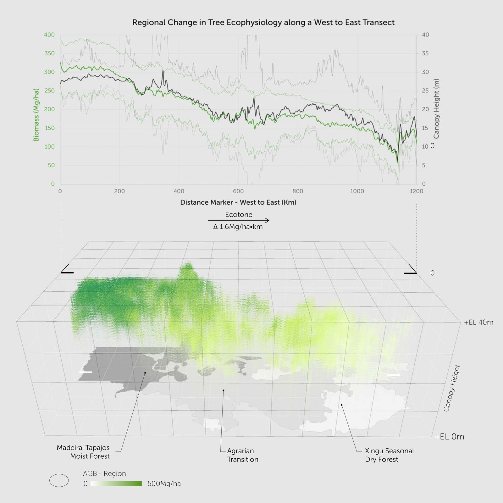
The obvious shortcut, wall-to-wall satellite biomass products, fails here: calibrated on closed, high-biomass forest, they saturate over young regrowth. Across the secondary forest surrounding these plots, ESA CCI reads a near-constant ~175 Mg/ha where field-calibrated LiDAR reads about 60. A model trained to reproduce it inherits that blindness, and cannot tell a three-year-old planting from a twenty-year-old stand.
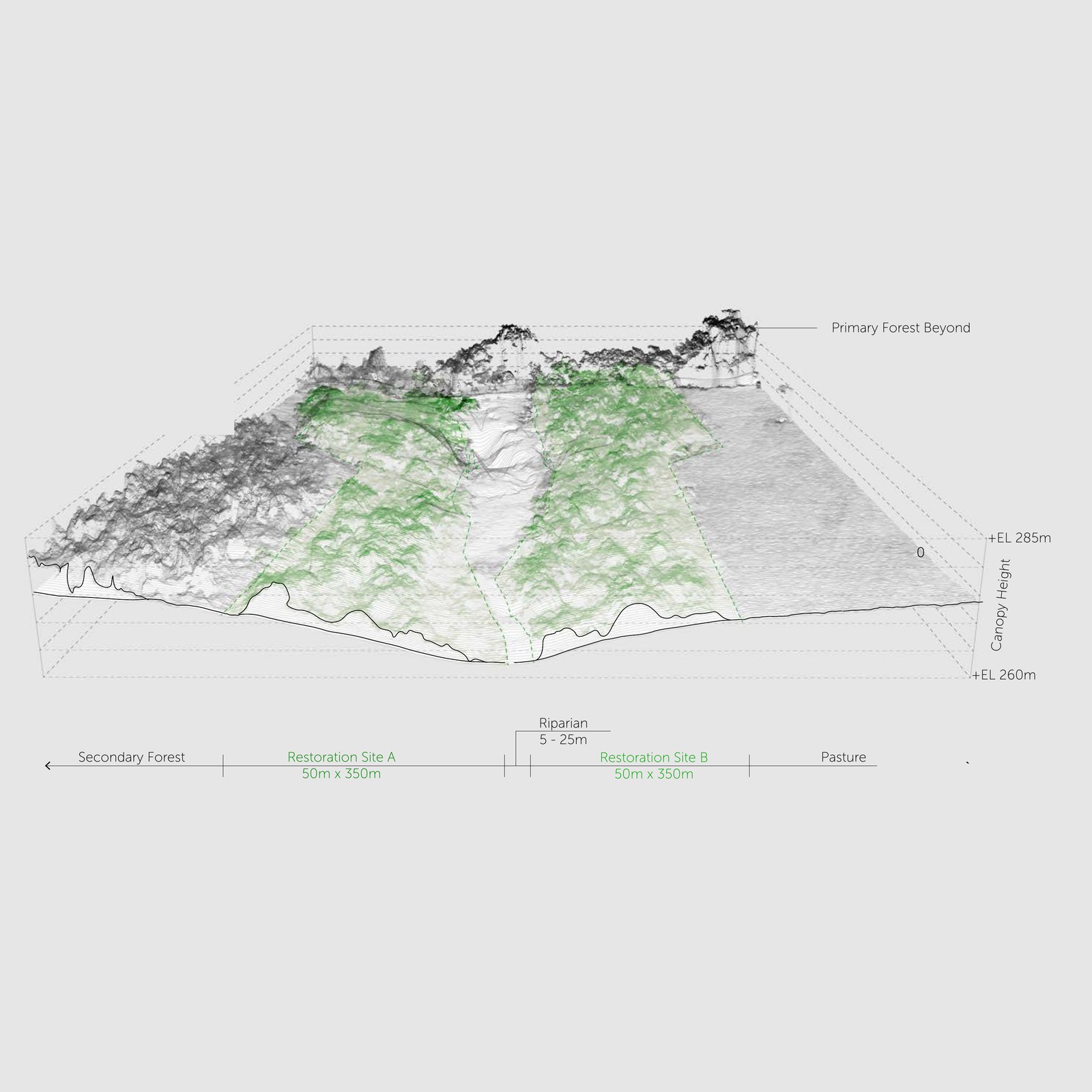
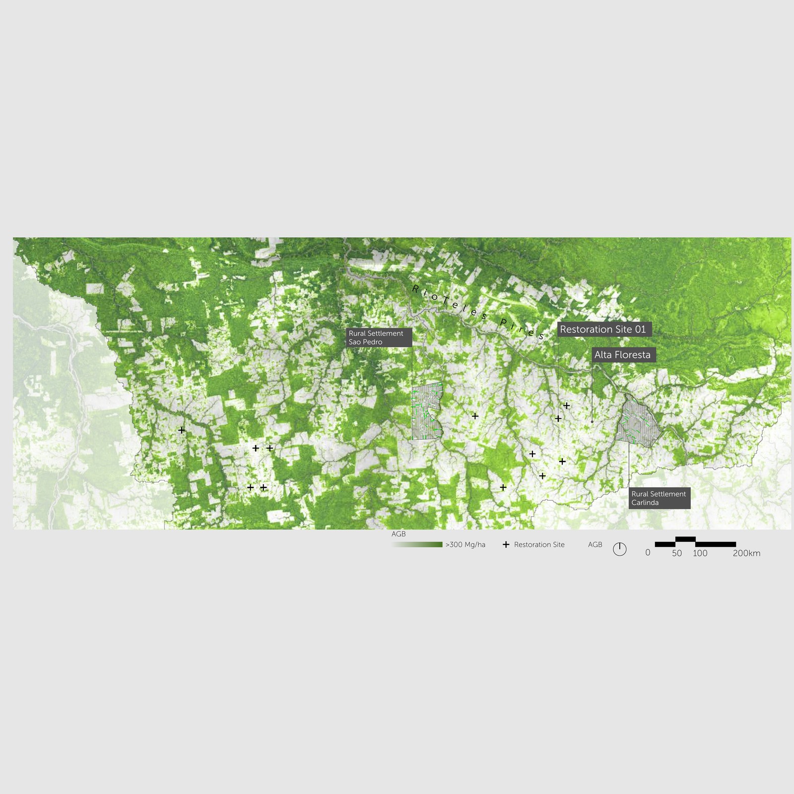
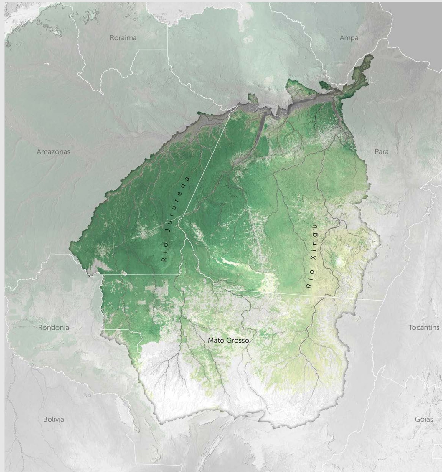
Instituto Centro de Vida (ICV) holds drone surveys across a cluster of restoration plots in north-central Mato Grosso. The work builds a biomass estimate from that drone structure alone, anchored to a reference that can actually resolve low biomass.
- Reference — GEDI L4A spaceborne LiDAR, field-calibrated at the 25 m footprint, restricted to mapped secondary vegetation.
- Purity filter — footprints less than 80% within secondary forest are dropped, removing edge contamination from pasture and mature forest.
- Analogous envelope — the reference pool is widened across the state to secondary forest matching the study area's precipitation and elevation range, yielding 22,331 clean footprints.
- Parsimonious predictors — four terms the drone can measure: mean and 90th-percentile canopy height, canopy roughness, and NDVI. A random forest is fit with spatial-block cross-validation so accuracy is not inflated by autocorrelation.
- Application — each plot's drone structure is passed to the model directly; the height-source transfer is reported as uncertainty rather than silently calibrated away.
- Twelve plots (3–4 years old) hold an estimated 4–51 Mg/ha, median ~24 — consistent with early regrowth, and far below what a saturating reference would have produced.
- Error scales with stature, not age. In the plots' height regime the uncertainty is ~30 Mg/ha; stratified by age instead, it stays flat near 50, because a young age class contains a wide spread of structures.
- Every plot falls within one standard deviation of same-age natural regeneration, and above its median. Young secondary-forest biomass is strongly right-skewed, so median and mean point in opposite directions; both are reported.
- The residual scatter is genuine structure-to-biomass uncertainty, not noise in the reference. Local allometry is the single change that would tighten it most.
Restoration finance depends on measurement that distributed smallholders can actually afford. Anchoring a drone-scale model to spaceborne LiDAR rather than to a saturating raster makes screening and benchmarking possible without a field campaign, and states the accuracy honestly enough to know where a field campaign is still required. The pipeline is packaged to retarget to another region by editing a config file, not the code.